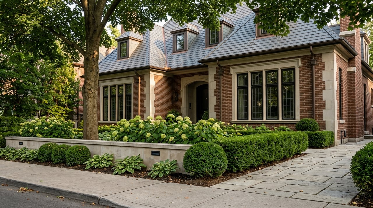
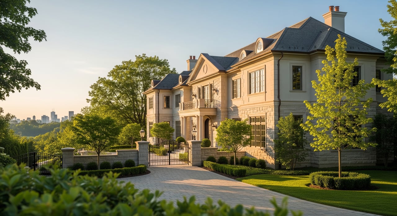
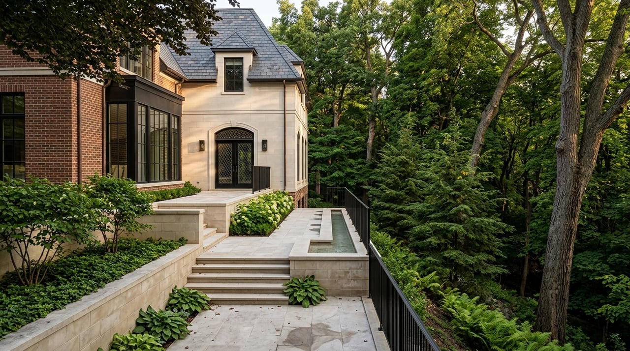
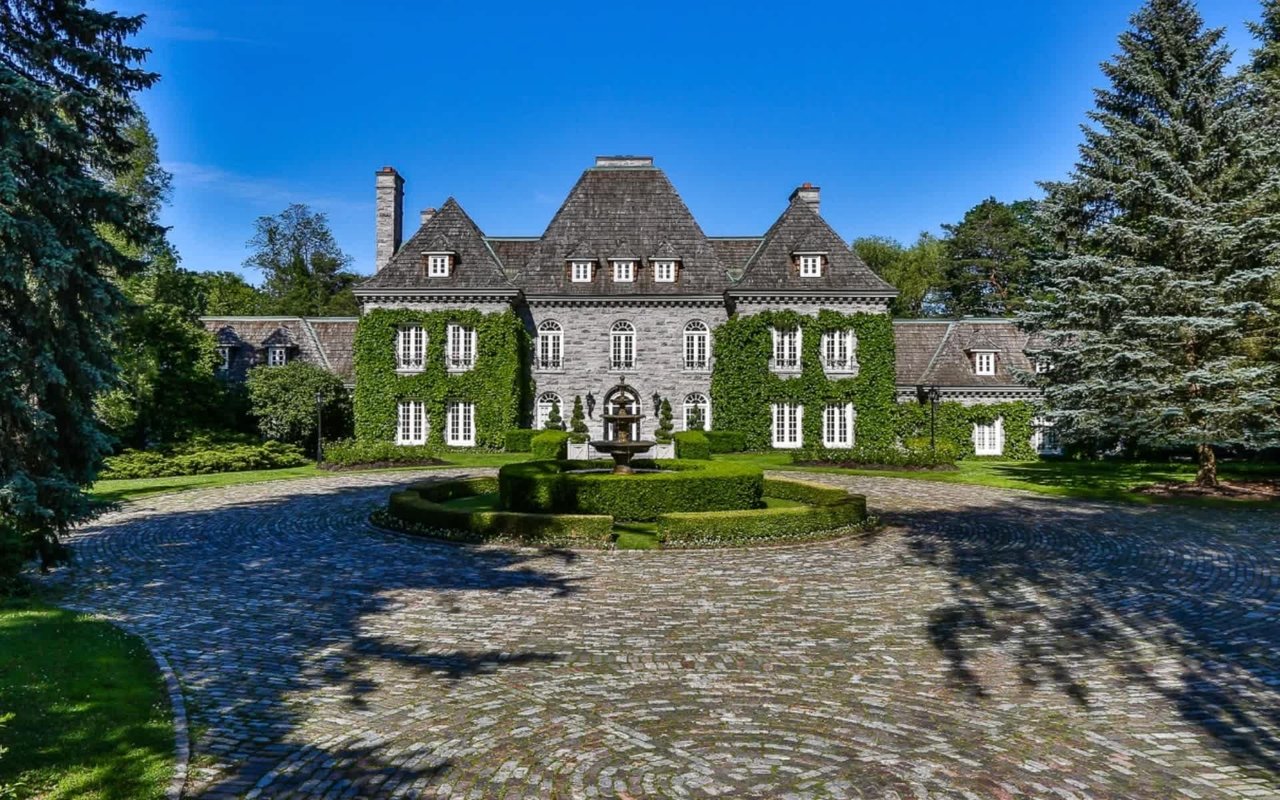
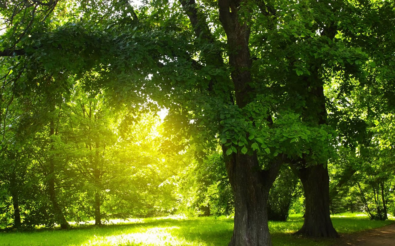
The Bridle Path does not have a main street. There is no strip of shops to duck into after a school run, no corner café where neighbors compare notes over coffee. The neighborhood is bounded by Bayview Avenue on one side, Wilket Creek on the other, and Sunnybrook Park to the south, and the green corridor, including the Wilket Creek ravine, is a key part of its shared public realm.
For the past several years, walking into that ravine meant hitting orange construction fencing somewhere along the way. This year, for the first time since 2021, it doesn't.
A Neighborhood Without a Storefront
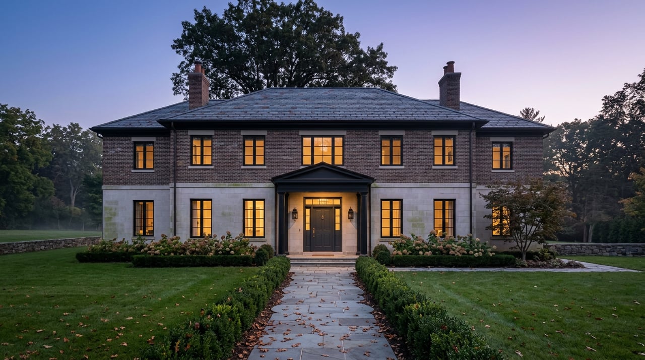
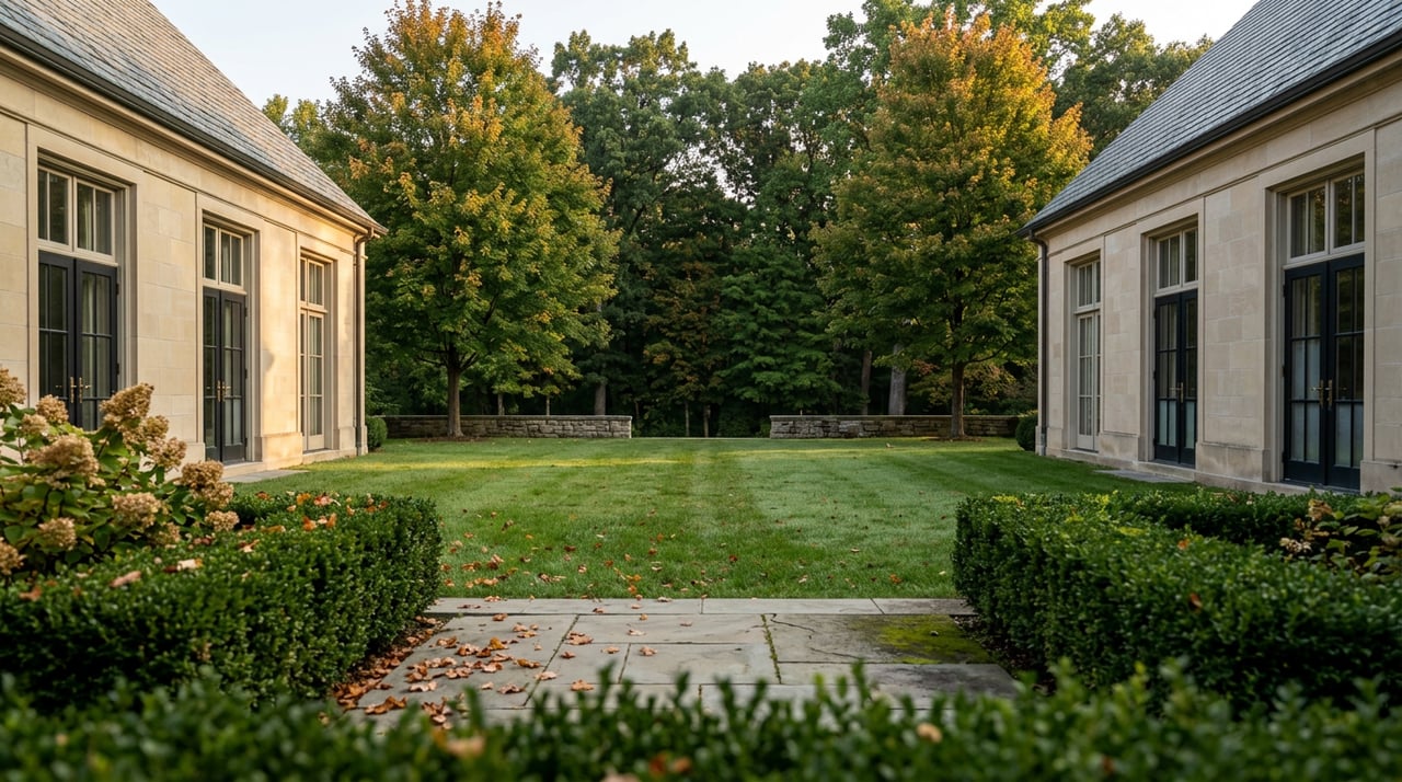
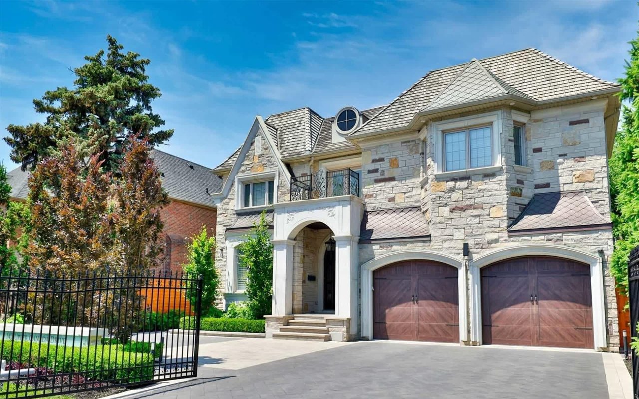
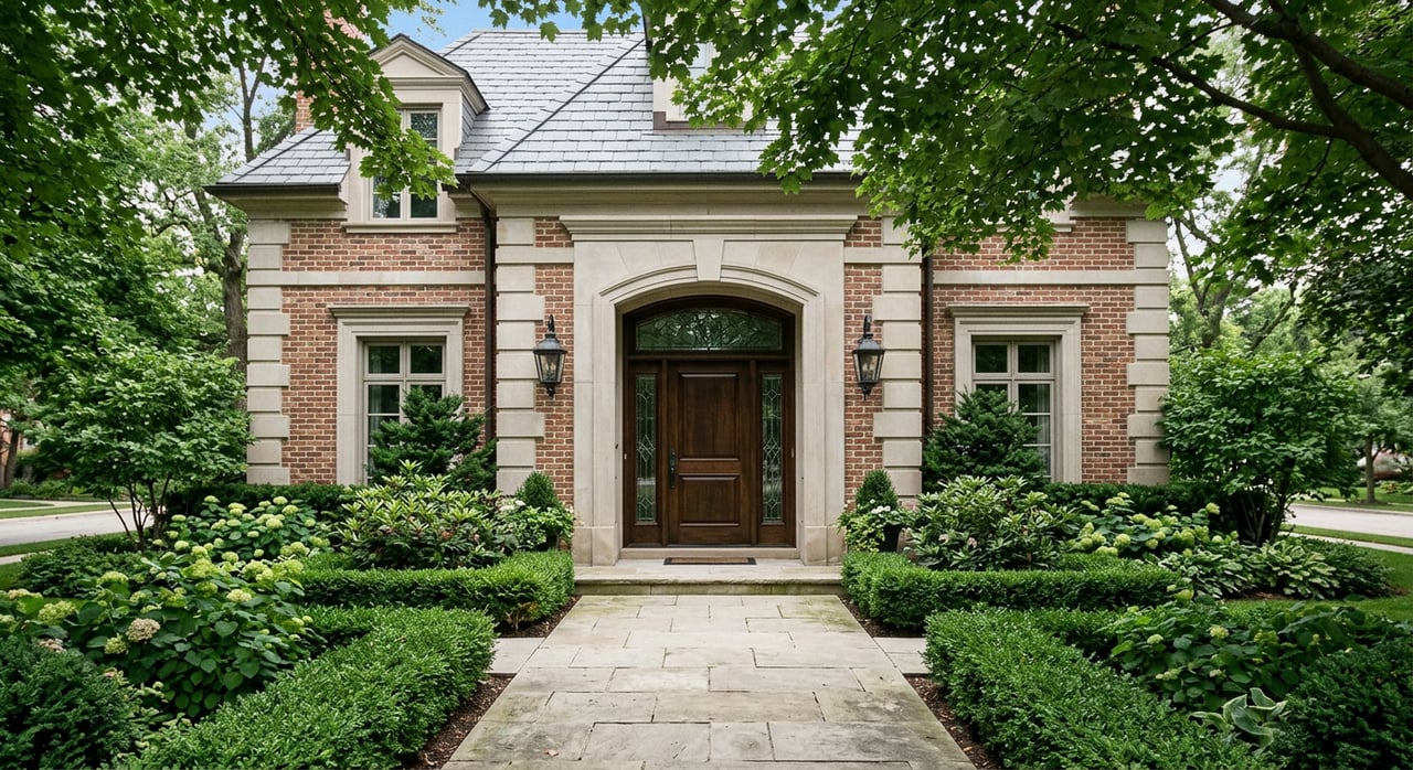
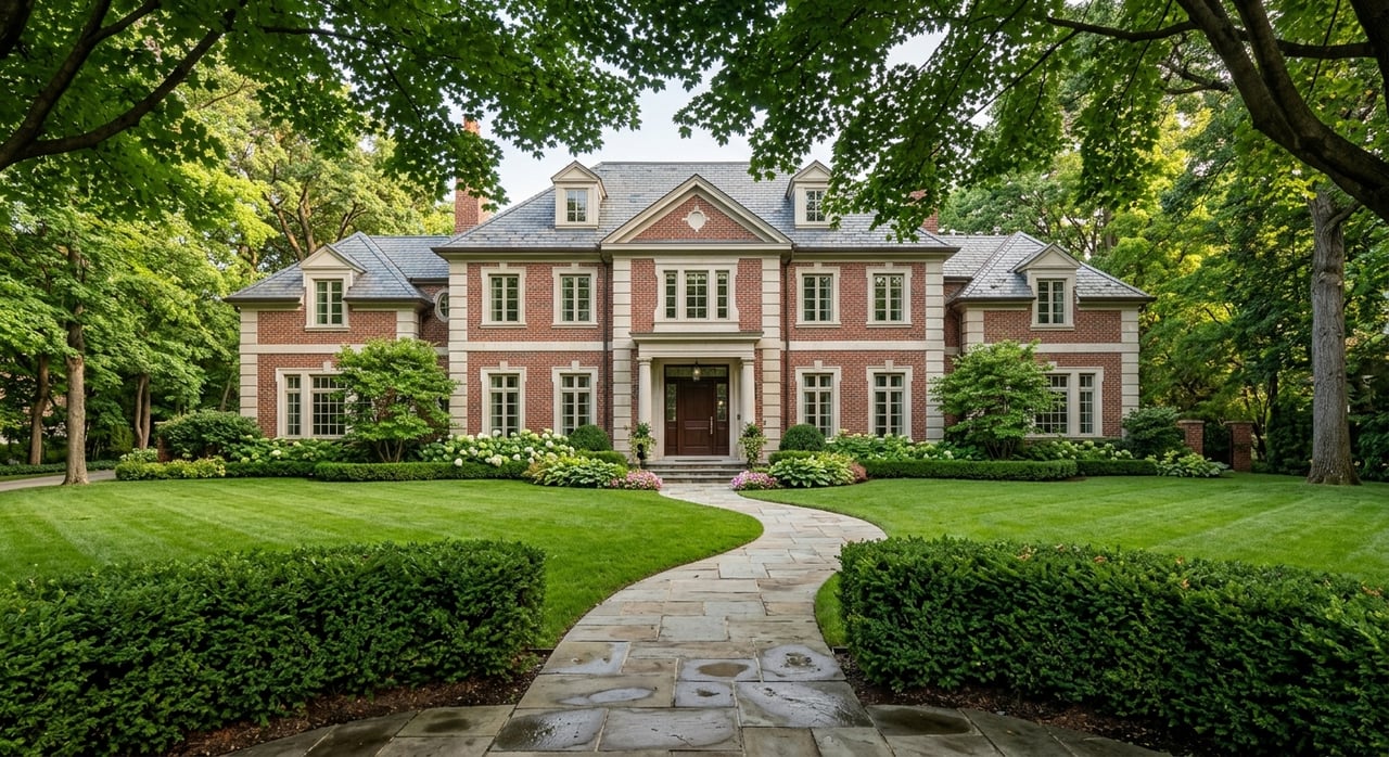
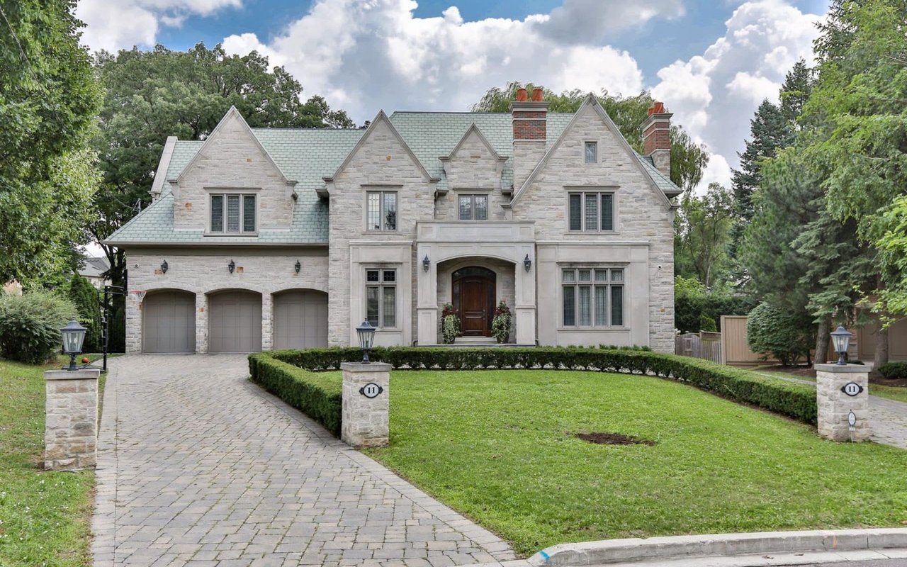
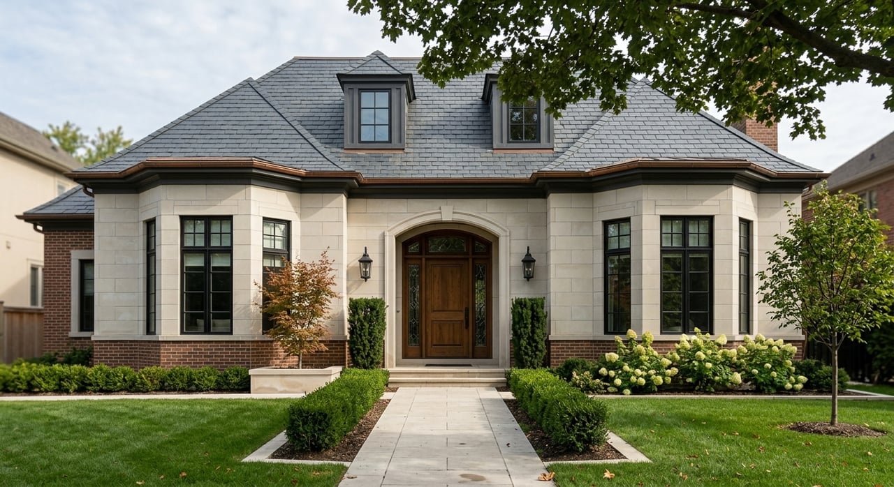
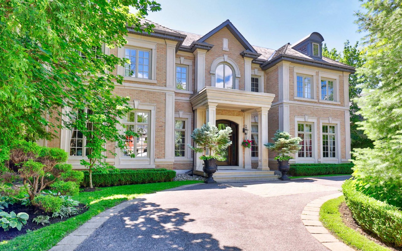
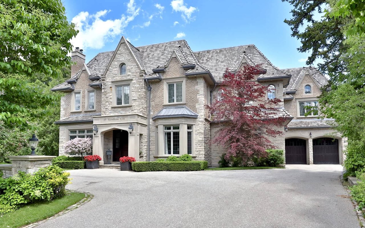
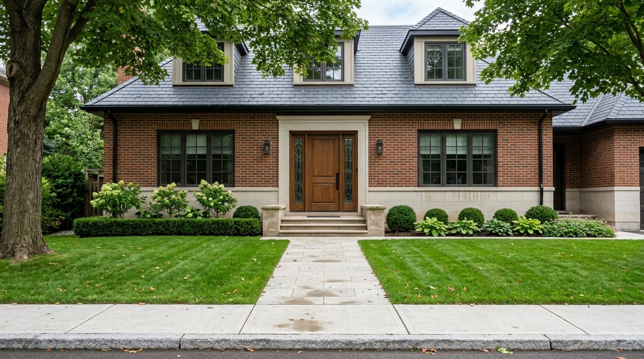
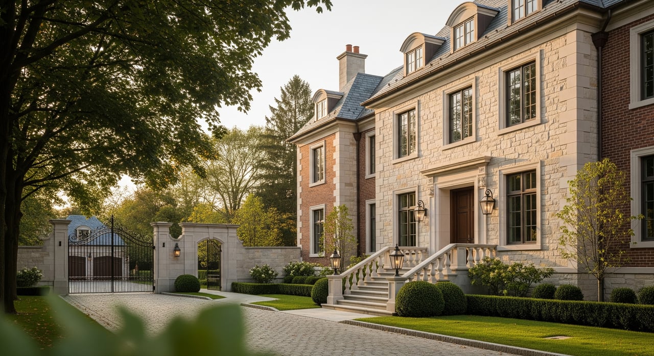
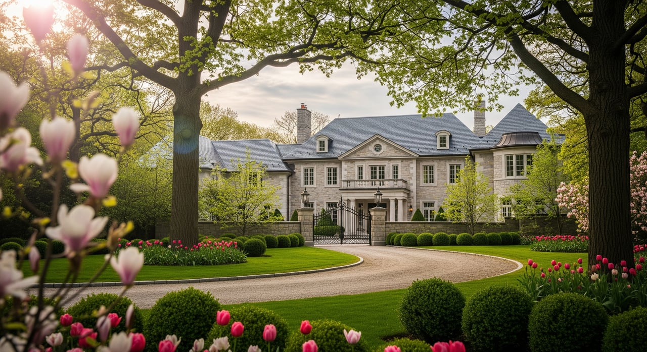
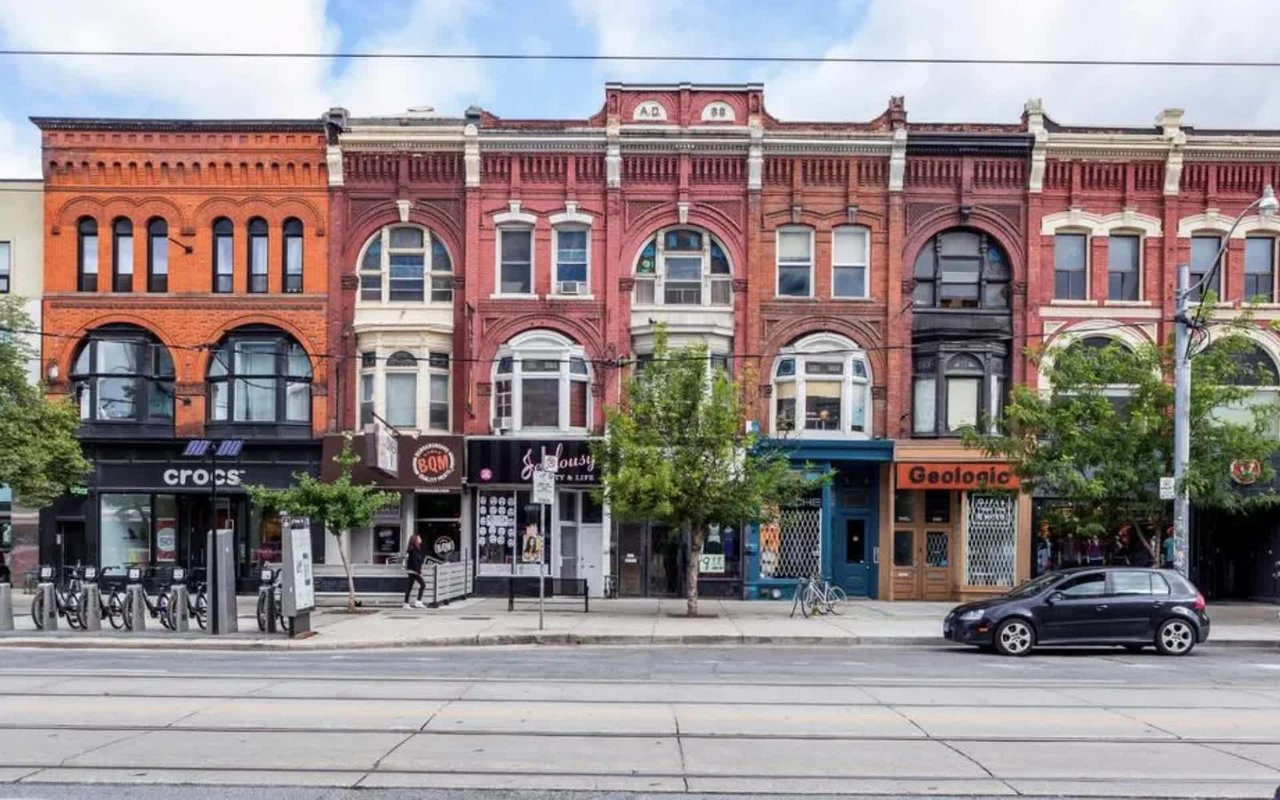
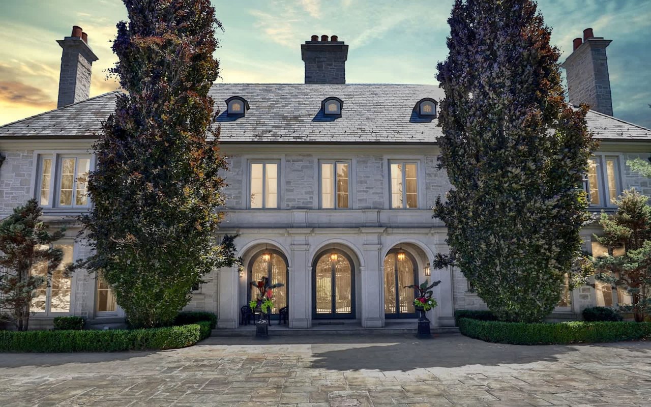
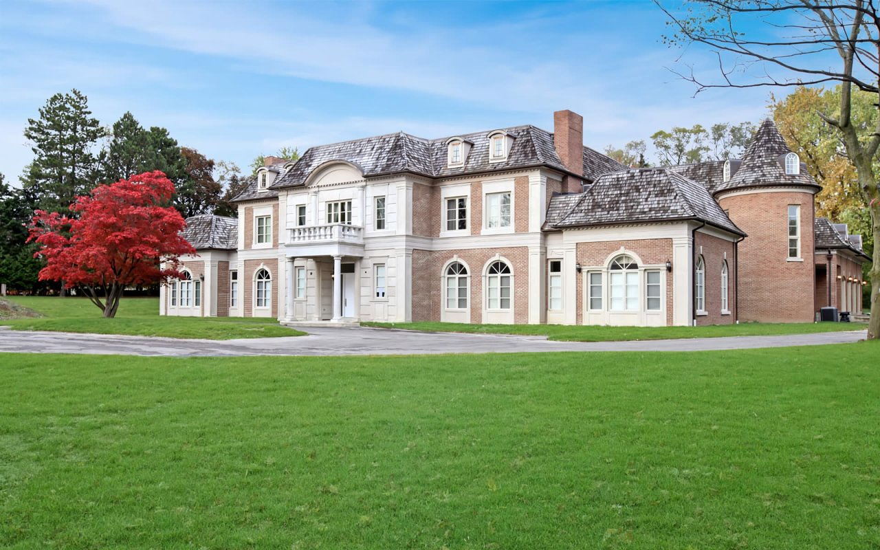
Most Toronto enclaves compensate for their exclusivity with a walkable village center. Forest Hill has its Village shops along Spadina Road. Rosedale has the Summerhill strip. The Bridle Path has neither, by design. The lots run two to four acres, the streets are mostly cul-de-sacs, and the closest thing to public infrastructure is the green corridor that wraps the neighborhood's edges: Windfields Park to the north, Edwards Gardens and the Toronto Botanical Garden at the southern hinge, and Sunnybrook Park beyond that.
That corridor isn't a nice-to-have amenity layered on top of the real estate. It functions as the neighborhood's actual public realm, the place where residents walk dogs, run before work, or just get out of the house without getting in a car. Which is why a multi-year infrastructure project inside that corridor is worth paying attention to, even though it never touched a single driveway.
Four Years Behind a Fence
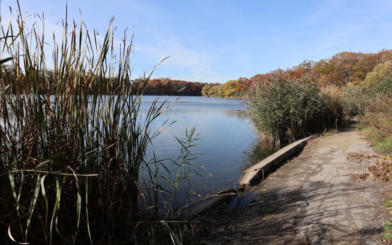
The Toronto and Region Conservation Authority identified a stretch of Wilket Creek within Windfields Park as a priority erosion site back in 2021. The location sits below Tudor Gate, close to where York Mills Road meets Bayview Avenue, and it had been taking a beating for years. High-flow periods displaced the creek's protective revetment, undercut the bank, and left sections of the channel unstable enough that TRCA brought in Palmer Environmental Consulting Group to design a long-term fix rather than another patch job.
That kind of project moves slowly on purpose. Design work, permitting, and construction staging all had to happen before a single vegetated bank could go in. TRCA's 2025 annual report confirms the work is done: the erosion control along Wilket Creek within Windfields Park is complete, with new vegetated revetments and embedded wood structures stabilizing both banks.
Zoom out and the number gets more interesting. Across its entire jurisdiction, TRCA completed 4.3 linear kilometres of valley and shoreline stabilization at 13 priority sites in 2025, and reported that 84 percent of its erosion control structures remain in acceptable condition. Wilket Creek in Windfields Park was one of those 13 sites, which means the trail behind The Bridle Path wasn't a side project. It was one of the year's actual priorities for the agency responsible for the entire regional watershed.
What's Actually Connected Now
The practical effect for anyone walking out their door is that the ravine system reads as one continuous loop again instead of a series of interrupted segments.
| Segment | Distance | What's there |
|---|---|---|
| Windfields Park Pathway | About 2.1 miles, flat and paved | Runs between York Mills Road and Post Road through mixed woods and open field, the stretch closest to Bridle Path itself |
| Wilket Creek Trail | 2.1 km, paved | Connects Windfields Park south to Edwards Gardens, wheelchair accessible with picnic areas and washrooms along the way |
| Edwards Gardens loop | Roughly 0.8 miles | Terraced beds, rockery, and the Toronto Botanical Garden's four acres of themed plantings at the trail's southern anchor |
| Sunnybrook Park trails | 5-plus km across 60 hectares | Off-leash dog area, riding stables, and the connection point east to Serena Gundy Park |
None of these individual distances is long. The value is in the stitching. A resident who wanted to walk from the Windfields end of the corridor down through Edwards Gardens and into Sunnybrook could do it as one unbroken route again, something that hadn't reliably been true for years while sections near Tudor Gate stayed closed for construction.
The Café at the Turnaround Point
Most walks along this route end, or begin, at the same spot: the historic barn in the Edwards Gardens courtyard that houses the Toronto Botanical Garden's café. That operation changed hands in 2025. Daniel et Daniel Catering and Events, a Toronto hospitality name with more than four decades in the business, took over what had been Bloom Café in May and reopened it as Dandelion Café, now delivering fresh baked goods and sandwiches to the space every morning.
It's a small detail against a large infrastructure story, but it's the kind of detail that actually changes a Tuesday. A finished trail with nowhere to sit afterward is just a finished trail. One with a working café at the end of it is a routine.
The garden's other seasonal fixtures are still running on their usual calendar. The Organic Farmer's Market operates on the grounds from May through October, and Thursday evening open-air concerts have been part of the summer program for years. Neither is new, but both are worth remembering now that the walk to reach them doesn't require a detour.
A Fall Weekend at the Garden
Among the garden's seasonal events, one weekend stands out. Toronto Botanical Garden's free Fall Ravine Fest turns the grounds into a family event, with a Nature Passport scavenger hunt running through the garden, the Wilket Creek ravine, and the Teaching Garden, a live set from folk musician Ken Whiteley, an aerial performance from the circus troupe Artists' Play, and a plein air art exhibition and sale featuring around 70 original works from 27 local artists. Last year's edition landed on October 4, with Dandelion Café handling food for the day and the garden shop open alongside it.
The exact date shifts slightly year to year, but the format holds. The festival is one occasion for the community to gather in the same place, a short walk from Bridle Path's own back fences.
A neighborhood with no storefronts still has a public life. It just runs on a creek instead of a sidewalk.
Why the Timing Matters
None of this changes what The Bridle Path is. It remains one of the most private residential enclaves in the country, built around large lots and long driveways rather than foot traffic. What changed is more specific than that. For four years, the one piece of shared infrastructure this neighborhood actually uses, the ravine trail system that stands in for a town square, was fragmented by fencing and detours. As of TRCA's 2025 reporting, it isn't anymore, and the amenities at its southern end, from the café to the annual festival, are running at full strength alongside it.
For residents, that's the kind of change that shows up in a daily walk long before it shows up in any market report. For anyone watching this neighborhood from the outside, it's a reminder that the value of a Bridle Path address was never about what's on the street. It's about what's still standing, and now fully reconnected, just past the tree line.
If you're weighing a move into The Bridle Path or considering what a property here is worth in today's market, Barry Cohen Homes has spent decades tracking this neighborhood block by block, ravine included. Reach out for a confidential conversation about what's happening on your specific stretch of it.